Hauraki Gulf Islands
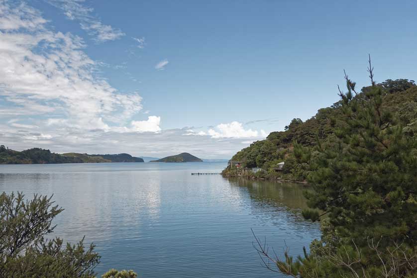
The Hauraki Gulf lies to the east of Auckland and is dotted with numerous small islands.
 |
| Hauraki Gulf Islands |
The following is a list of most of the Hauraki Gulf islands. "Most" because many are just rocks, and are not included here.
Aiguilles Island
The island is uninhabited and 120 metres at its highest point.
Channel Island
Channel Island is a tiny island - almost just a rock - just under 6 km north of the Coromandel Peninsula. The island protrudes a few meters up out of the sea like a thumb tip and is accompanied by an even tinier rock.
Flat Island (near Ohinau Island)
 |
| Hauraki Gulf Islands, New Zealand |
Great Barrier Island
Great Barrier Island was the first island in the world to become a Dark Sky Sanctuary. There are flights from Auckland Airport as well as ferries.
Kaikoura Island / Selwyn Island
The island is the seventh largest island in the Hauraki Gulf and is now owned by the NZ government. It provides a haven for brown teal ducks and kaka (a species of parrot).
Mahuki Island / Anvil Island
Mercury Islands
The Mercury Islands are a group of seven islands. These are Great Mercury Island (the largest and only inhabited island in the group), Red Mercury Island, Korapuki, Green, Atiu/Middle, Kawhitu/Stanley and Moturehu/Double Islands.
Great Mercury Island / Ahuahu Island
The island is privately owned by the wealthy bankers and businessmen David Richwhite and Sir Michael Fay.
Red Mercury Island / Whakau Island
Red Mercury Island (Whakau in Māori) is the second largest of seven Mercury Islands. It was named by James Cook in 1769.
Kawhitu / Stanley Island
Motuihe Island
The island can be reached by ferry and is known for its beautiful beaches. First settled by the Maori and then purchased by Europeans, the island has a colourful history. It was used as an internment camp during World War I and a smallpox quarantine station before that. In 1918 the island was again used for quarantine, this time the flu pandemic.
Motukaraka Island
An uninhabited island 500 metres off the coast of Beachlands.
Motukoranga Island
A small island just over 1 kilometre in length.
Motukorea Brown's Island
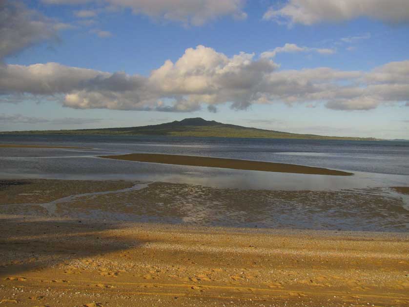
Motukorea Brown's Island is a green, mostly bare, island that rises 68 metres to the top of an old volcano. The volcano erupted about 25,000 years ago.
Until recently it was known as Brown's Island, but the current name incorporates the Maori name.
Motukorea Brown's Island is only a kilometer or so from Musick Point / Te Naupatathe on the Buckland's Beach peninsula, which is the nearest mainland point. However, there is no transport service to the island. And, even for private boats, the rocky waters around the island make landing attempts hazardous.
History
In 1840, Motukorea Brown's Island was purchased from Maori owners by the Scotsman, William Brown. He and fellow Scotsman, John Logan Campbell, lived there, raising pigs. This made Motukorea Brown's Island one of the first places in Auckland to be settled by Europeans. However, they stayed only half a year, then moved to mainland Auckland.
In 1909, the island entered into New Zealand's aviation history when the Barnard brothers flew manned gliders from the top of the volcanic cone.
The island was gifted to the public in 1955 by its then-owner, the chairman of the Devonport Steam Ferry Company.
Over the next few decades, there was shuffling of responsibility for the island between administrative bodies. But in February 2018 the island became Auckland's first island public reserve.
Motukoruenga Island / Laura's Island
Motutapu Island
The island is non-volcanic and dates back an incredible 178 million years. The island is known for its walks and birdlife.
The Noises: never been farmed or cleared of forest About The Noises - The Noises
The Noises is the name given to a group of eight islands
1. Otata Island
Otata is the largest island in the group and is rich in birdlife.
2. Motuhoropapa Island
3. David Rocks (The Four Islands)
CLOSEST 20 ROCKS TO DAVID ROCKS
4. Maria Island/ Ruapuke
The first NZ island to become predator-free, in 1964.
5. Orarapa / The Haystack Island
6. Ike Island
7. Scott Island
8. Sunday Island
Ohinau Island
The forested island is a breeding ground for flesh-footed shearwaters.
Pakatoa Island
Pakatoa is a privately-owned resort island with beachside cabins and places to eat and drink. The island is usually accessed by helicopter.
Pakihi Island
One of the smallest of the Hauraki Gulf Islands, it is privately owned.
Ponui Island
Also known as Chamberlin's Island, it is also in private hands.
Rakino Island
A small island with a permanent population of just over 20 inhabitants.
Rakitu Island / Arid Island
The 630-acre island is uninhabited.
Rangiahua Island / Flat Island
The island is part of the Broken Islands (Pig Islands) group.
 |
| Rangitoto Island |
Rangitoto Island
Rangitoto Island is linked by a causeway to Motutapu. It is the youngest volcano in New Zealand. There are no shops and no dogs allowed. There are ferries from Auckland Ferry Terminal.
Repunga Island / Cuvier Island
The island is a nature reserve with no public access.
Rotoroa Island
The island is just over an hour by ferry from Auckland. It features white, sandy beaches, walking trails, and wildlife. Accommodation is available for overnight stays.
Takapu Rock
Tarahiki Island
Tarahiki Island aka Shag Island is so-called as it is home to a colony of spotted shags or pārekareka - a species of cormorant endemic to New Zealand.
Tiritiri Matangi Island
Another predator-free island Tiritiri Matangi is a haven for bird-watchers and home to beautiful beaches, forests, and a historic lighthouse - the country's oldest operating lighthouse in fact! Ferries from Auckland take around 75 minutes to reach the island.
 |
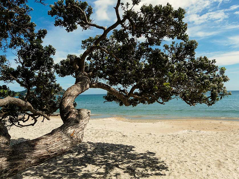
| Native New Zealand tree on a beach on Waiheke Island |
Waiheke Island
Waiheke Island is the second-biggest island in the Hauraki Gulf, at 92 km2 (36 square miles). This hilly island has a permanent population of about 10,000, but with several thousand more living here on and off in holiday homes.
Whanganui Island
Whanganui Island is privately owned.
Access & Map
Hotels in Auckland
Booking.comBooks on New Zealand


0 Comments